We talk a lot about Intelligent Systems, but the real impact is in granularity. Now a days standard satellite data gives us a 30m resolution for urban heat! enough to see a neighborhood, but too coarse to see the actual risk on the street.
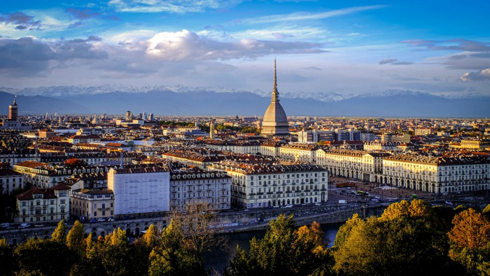
Geospatial downscaling using Sentinel-2 and Landsat fusion is changing this. Heat doesn't care about averages; it cares about whether you’re standing on asphalt or under a green roof. In cities as Turin, in Italy, this tech proved that switching to high-albedo concrete blocks can slash surface temperatures by over 4°C.
If we integrate these hyper-local thermal maps with public health and MedTech infrastructure, we could predict heat stress before it becomes an emergency room statistic.
Are we actually embedding these datasets into active health and agri-tech apps, or are we just building pretty maps for urban planners?