Most climate adaptation conversations focus on what happens on the ground. But some of the most critical data comes from above it.
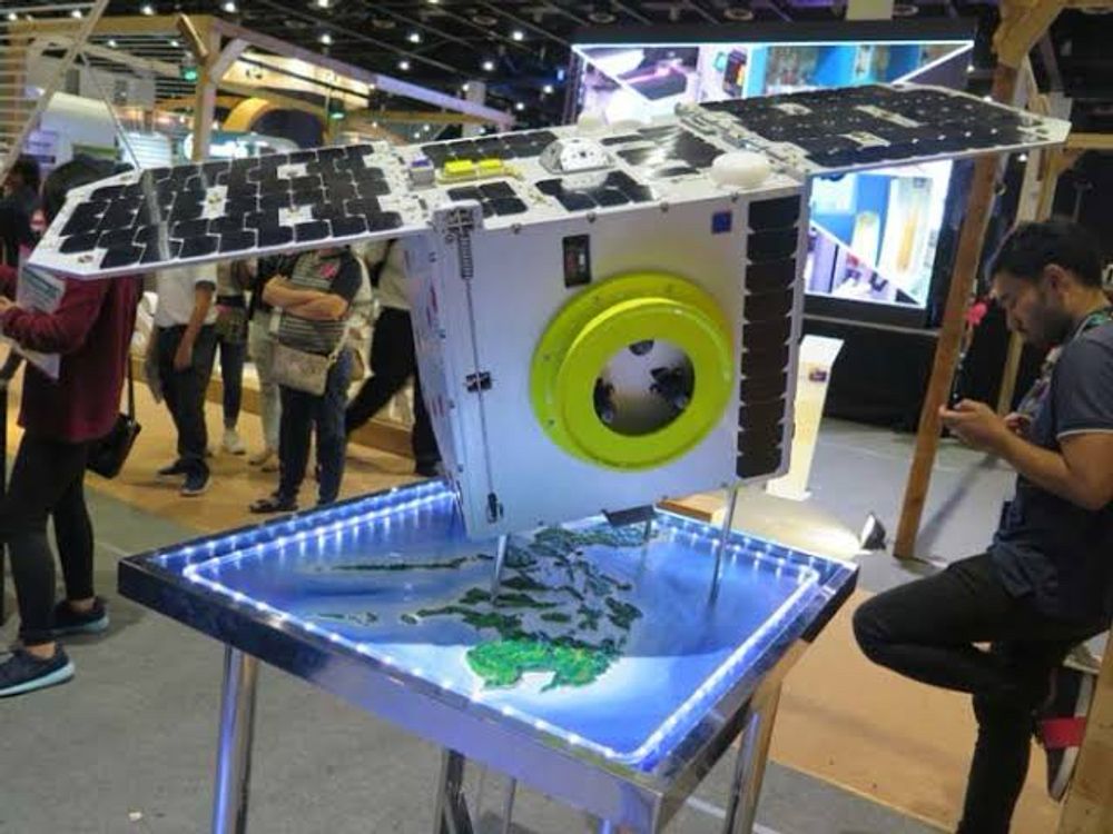
Since its 2018 launch, Diwata-2 has continuously carried out Earth observation missions for environmental monitoring and post-disaster assessment, capturing over 157,804 satellite images and covering 96.47% of the Philippine land area. It has tracked typhoons, monitored ecosystems, and shared disaster imagery with neighboring countries through the Sentinel Asia Network.
Built by Filipino researchers. Designed to last five years. Still active today, and still delivering.
How do you think Earth observation data could be better integrated into climate adaptation planning in Southeast Asia?
Read more: www.dost.gov.ph/knowledge-re...
📷 UP Alumni Website